TÄBY PARK DEVELOPMENT
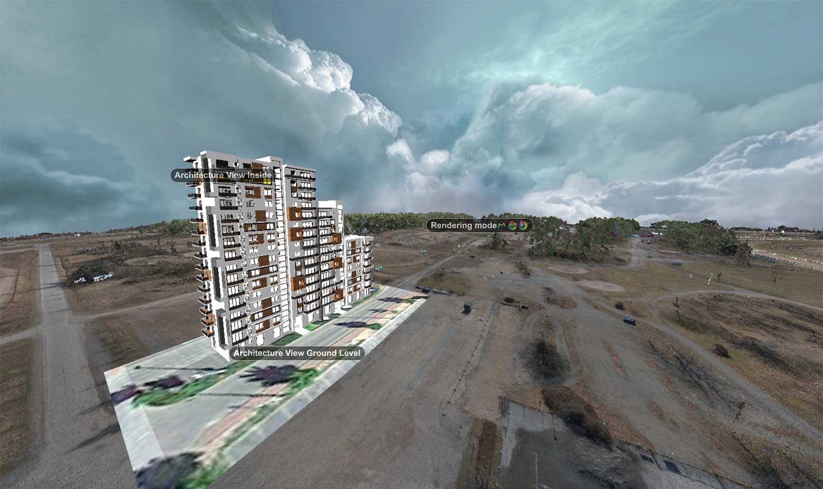
Deliverables included highly accurate digital terrain models in point cloud and mesh formats, orthophotos of the site and various deliverables for use in Autodesk, Bluebeam and GEO software environments. Skanska project. *Live demo includes architecture model for demonstration purposes.
HOGBYTORP VÄRMEVERKET BIOGAS STATION ACCESS ROAD CONSTRUCTION
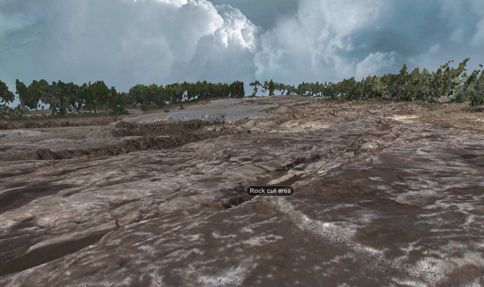
Deliverables included highly accurate digital terrain models in point cloud and mesh formats, orthophotos of the site and various deliverables for use in Autodesk, Bluebeam and GEO software environments. The models were used for earthmoving calculations, project overview, and site progress monitoring.
TÄBY TIBBLE RAILWAY CONSTRUCTION
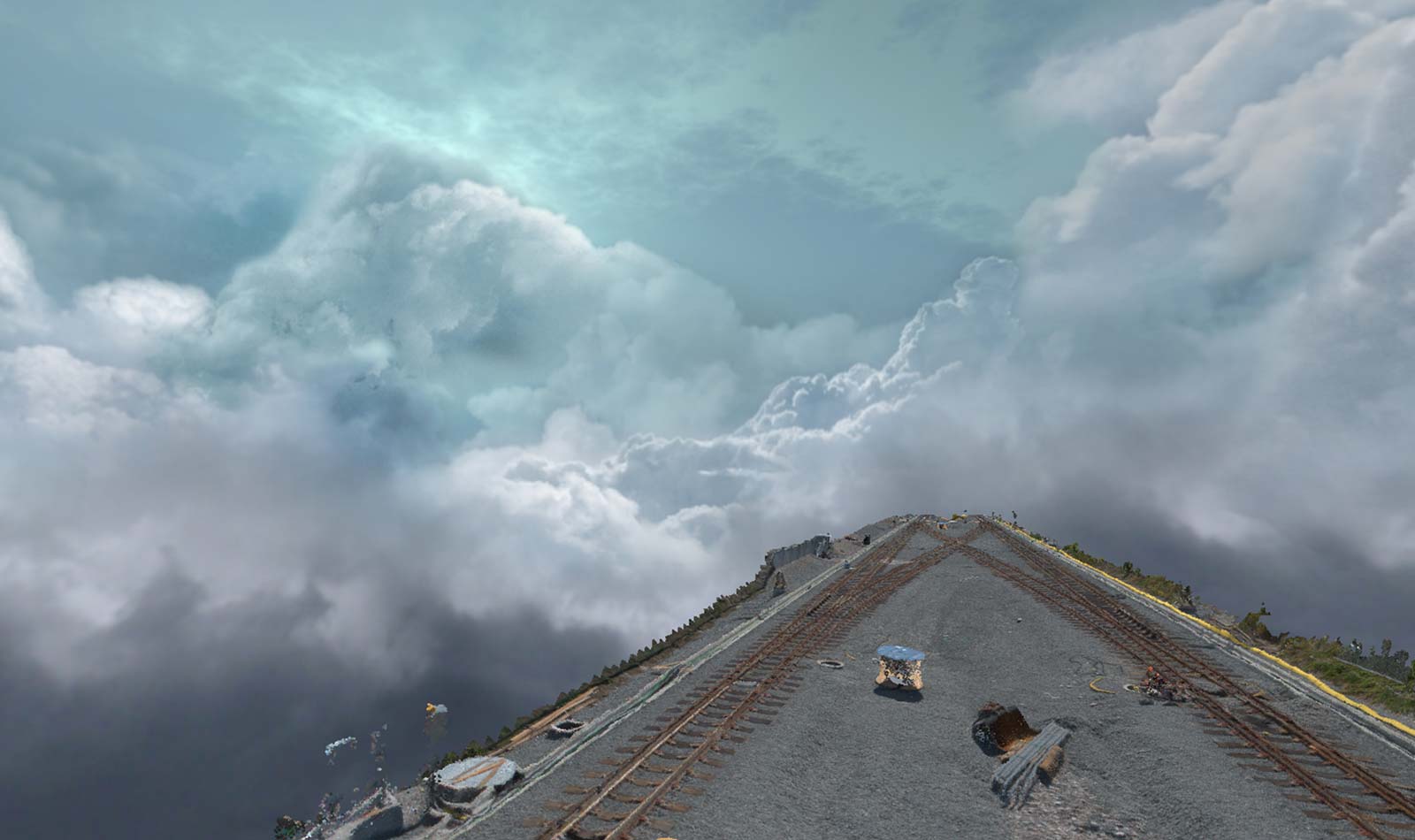
Deliverables included highly accurate digital terrain models in point cloud and mesh formats, orthophotos of the site, section views, and various deliverables for use in Autodesk and GEO software environments. The models were used for macadam volume calculations, site overviews, and progress monitoring.
ALVSJODEPAN .
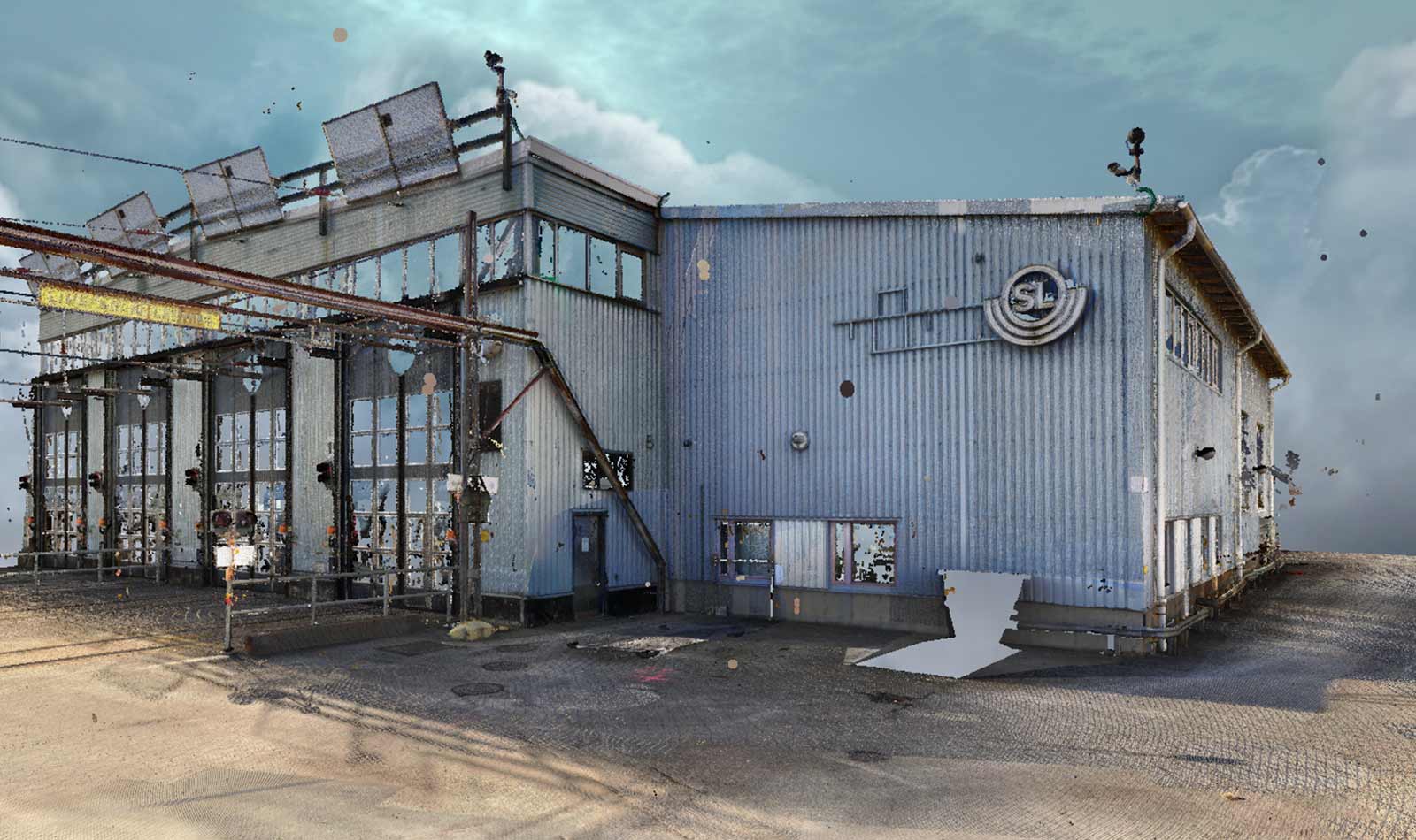
Deliverables included highly accurate point clouds coordinated to SWEREF99 and various deliverables for use in Autodesk software environments.
GUSTAV III:S BOULEVARD 13 APARTMENT
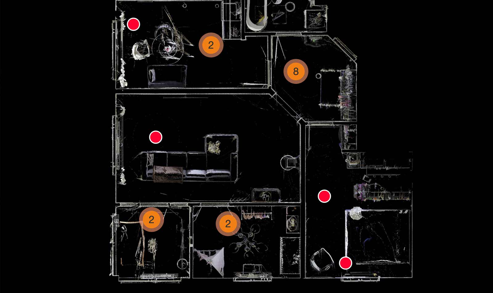
Deliverables included highly accurate point clouds of the site and deliverables for use in Autodesk software environments.